WHAT TO DO IN MONTESPERTOLI
A TERRITORY TO LIVE
AND DISCOVER AT A WALKING PACE
The Hill of Pino

The Itinerary
The itinerary begins at the Church of San Michele a Polvereto, documented as far back as the medieval period. Behind the high altar, it houses a painting attributed to Rodolfo del Ghirlandaio, most likely commissioned by the Girolami family from Florence or the Order of Santo Stefano, both of whom were present on these hills during the 16th and 17th centuries. On the façade of the church, above the entrance portal, is the coat of arms of the Usimbardi family from Colle Val d’Elsa, who we will mention later. To visit the church, it is necessary to ask permission from the family living in the rectory next to the church.
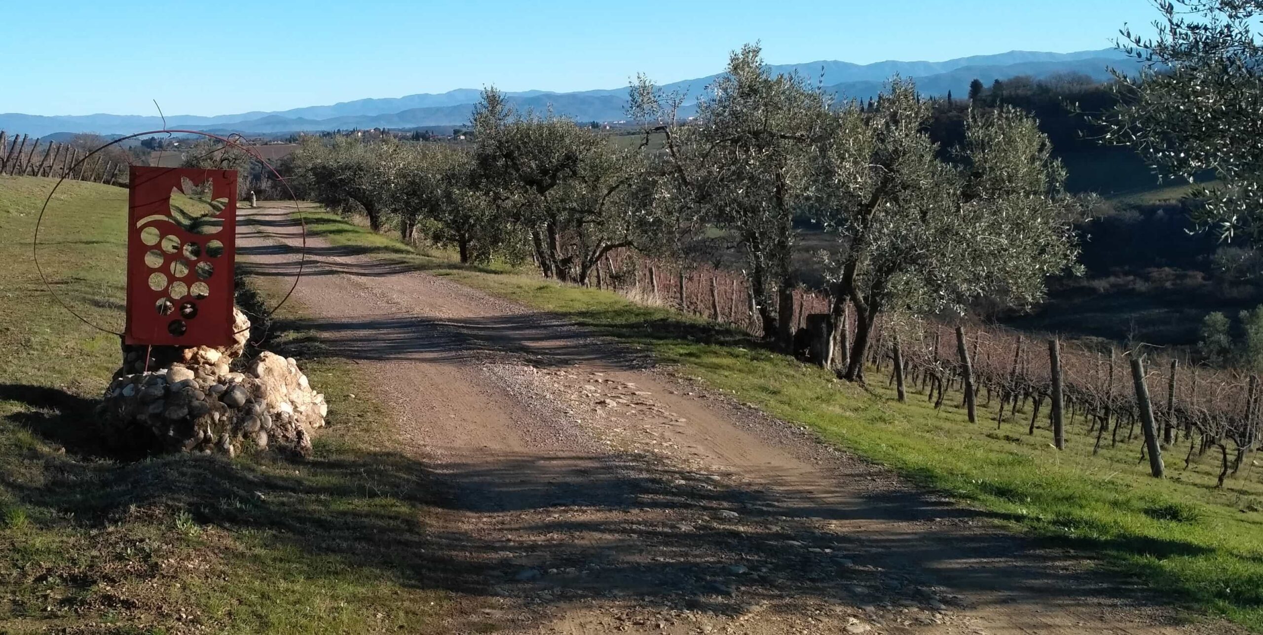
Leaving the church in the direction of Tavarnelle, you soon leave the asphalt road to enter the olive fields where a dead-end side road branches off from the main road. In a short time, you reach the large rural residence of Paglieri (formerly known as Olmo in past centuries) where it is worth stopping for a few minutes to observe its structure and finishes: notice the beautiful stone-paved corridor preceded by a large arch, once the working space of the tenant farming family who lived there, and the windows adorned with pietra serena finishes, clearly intended to show off, dating back to when the building was used for residential purposes. The intricate composition and its location make it one of the most appreciable examples of farmhouses in these hills.
Proceed along the access road to reach, with a short and gentle ascent, one of the most panoramic spots in the entire Montespertoli area. The top of the hill is marked by a tuft of cypress trees arranged in a radial pattern, indicating that this was a place of particular significance in the past (a burial area?), as suggested by some details like a circular stone wall barely emerging from the ground around which the cypresses are arranged. Today, the enchantment is largely due to the extraordinary panorama enjoyed from this small hill, standing just 368 meters above sea level: to the northwest, you can clearly see the entire profile of the Pistoian Apennines, with the long silhouette of Montalbano in front and below; to the left is the jagged profile of the Apuan Alps followed by the rounded shape of Mount Serra, recognizable by the forest of antennas on its summit. On the far left of this relief, you can spot the small peak of Verruca, which looms over Pisa. To the right (east-northeast), the Pistoian Apennines fade into the Prato area and then into the Calvana range, with the deep incision of Valdibisenzio visible in the distance. Looking further northeast and then east, you can see the distant pair of Mount Falterona-Mount Falco and the long ridge of Pratomagno. Closer to us, the ridge of the Florentine Chianti rises up to the cross of Mount San Michele. To the south, the view is blocked by the picturesque glimpse of the Castle of Santa Maria Novella, with its towers emerging from the woods.
Continue in the opposite direction from which you came, leaving the small hill and proceeding through vineyards and olive groves; you pass a large oak tree before reaching the municipal road, which you follow as it circles around the beautiful villa of Canonici, arriving at the opposite side where the façade of this stately building is located. Here, too, the site is worth a stop, despite the fence keeping you at a respectful distance from the building. Nevertheless, its beauty and elegance stand out, characterized by its articulated and well-proportioned mass. The small loggia gives the grand villa a delightful ‘lightness.’ The residence has ancient and noble origins, having served as a manor house since the 15th century for the wealthy Girolami family from Florence, who owned extensive estates in this area (and on the nearby hill of Lucardo) managed by tenant farmers. It changed hands in the 16th century, and in the early 17th century, the estate known as “Il Prato” was acquired by the Usimbardi family, a prosperous family from Colle Val d’Elsa, who were then experiencing a period of social and political ascent.
Continuing on, leave the asphalt and climb to the top of the hill via a gravel road. Here, another stop is essential, turning back to admire the beautiful view of the Castle of Santa Maria Novella emerging from the surrounding woods. The chapel next to which we pass—giving the name to the road (Sant’Antonio)—contains a painting from the same school as that in the Church of San Michele a Polvereto, probably commissioned by the same patrons. A short descent leads to the rural village of Pino, with a small square in front of the buildings. These do not attract attention unless you know that you are in front of a historical-architectural gem, unfortunately heavily damaged. The complex is inhabited, and since it consists of an internal courtyard, our visit almost takes us into the owners’ homes, which obliges us to show the utmost respect, conduct the visit quickly, and behave courteously. Noisy behavior, shouting, or excessive curiosity should be avoided. In front of us, on the long wall—part plastered and part with exposed stones—a small arched underpass can be identified; enter (always ask for permission if there are people at the windows or in front of the underpass) and as you walk through the short and narrow corridor, notice the cabreo on the wall depicting Pino in 1777 when it was a farm of the Knights of Santo Stefano, a chivalric order created by Cosimo I de’ Medici. Through the narrow underpass, you reach the courtyard with a beautiful well and a large loggia on the first floor, partially enclosed. Exit the opposite side to observe the stone-paved ramp that once provided access to the village—turn right, circling around the building and returning to the square.
After the visit, descend to the asphalted road below, heading south, leaving the small community behind while the panorama opens up to the left, extending to Pratomagno in the background and the line of the Chianti mountains closer to us. Shortly, you arrive at the small cemetery of Pino, located at the intersection with the municipal road leading to Tavarnelle. On the opposite side of the intersecting road, at the base of a road sign, notice an old boundary stone, set into the ground, which still marks the municipal boundary between Montespertoli and Barberino-Tavarnelle. This is a favorable point for wide views, this time towards the southwest: in the foreground, the small ridge with the three hills of Marcialla (on the left), the Castle of Santa Maria Novella (in front), and Lucardo (on the right); in the background, forming the horizon, is the profile of Poggio del Comune with the towers of San Gimignano just below it.
Proceed along the asphalted road towards the Church of San Michele, retracing a stretch already covered on the way there, offering an excellent view to the north that frames a typical view of central Tuscany, with its endless series of ridges. In this case, the nearby Paglieri farm (left, above) and the large, bulky Castle of Cellole, located on the steep edge of the hill, are visible. On the next ridge, you can see Santa Cristina in Salivolpe and, to the left, the villa-farm of Corno; on the ridge after that, further away, San Casciano with the building known as the “Chianti Tower” (a former water tank) and to the right, Villa Corsini, white and with its two twin towers; further behind is Mount Morello, and to the right, the row of hills separating the Florentine basin from Mugello, with the Apennine ridge as the backdrop.
Continuing along the road, pass the junction for the Paglieri farm, beginning to descend with the nearby Church of San Michele a Polvereto clearly in view. A new, vast panorama opens up in front of you, this time towards the west and northwest: in front of you, the Pistoian Apennines with the Abetone complex, and immediately below it, the long and high wooded hill of Montalbano. Moving to the right, you can see the ridge of the Acquerino Pistoiese, then the Prato area, with the partially hidden Calvana and Mount Morello.
Behind the church building, the final part of the Virginio Valley opens up (which an optical illusion makes appear blocked by Montalbano) with the Castle of Poppiano and the bell tower of Lucignano on the right side. To the left, in the distance, are the Apuan Alps, with the nearby hill of Monte in front of them, and to the right of this, the ‘tuft’ of the Montecastello woods; further left is Mount Serra. Shortly after, you are back at the starting point.
The Cypress Circle of Polvereto
The presence of cypresses in Tuscany has become a characteristic feature of roads, property boundaries, farms, and hills, including in our region. Here we find a striking group of cypresses arranged in a circle, visible from afar from various viewpoints.
It has been part of the Pellizzari family property for centuries, and those who have managed the estate for about thirty years speak of it as a place full of magic. Stories reveal the care with which the cypresses struck by lightning have been replaced over time. The origin of the circle has been forgotten, but it may have been related to functions of rural life, similar to the famous Cypress Circle of San Quirico d’Orcia, which was supposedly a hunting “roccolo” (a grove created by hunters to attract birds).
The first roccoli date back to the 14th century and were used until 1968 mainly for catching birds with nets, a practice later banned with the introduction of Law 799/1967.
Cypress circles are also found around chapels, burial mounds, funerary stelae, and crosses that designate sacred places. Along the Via Francigena, a pilgrimage route, there are several near Staggia (Paronza, Lilliano). These are rondos, circles of centuries-old trees. All of them invite a pause.
Nature welcomes one into a sort of “room without walls, but with trees,” providing shelter from the wind and sun—a rest spot for travelers and a refuge for local farmers. This small rondo along the Polvereto loop also invites you to stop and look around, offering a 360-degree view from which you can see another small circle of cypresses in the Villa il Corno Park in San Pancrazio.
Currently, there are 9 cypresses, some very young, but they likely numbered 11 or 12. An example with 11 cypresses in a circle can be found around a granite boulder in the Curone Park in Lombardy. This is a pre-Celtic worship site on an artificial hill with astronomical functions. Who knows, perhaps this circle once served a similar purpose. What is certain is that the visibility of the sky here is particularly favorable, and often groups of astronomy enthusiasts choose this circle for their observation activities.
Gallery
Information
WHERE:
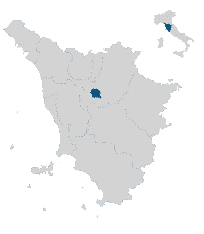
Southeast area of the municipal territory; near the church of San Michele a Polvereto and the rural village of Pino (9.5 km southeast of Montespertoli).
DURATION:
1 hour 35 minutes
DURATION WITH STOPS:
1 hour 50 minutes
LENGTH OF THE ROUTE:
3.7 km
ELEVATION GAIN:
↑ uphill 150 m
↓ downhill 150 m
DIFFICULTY LEVEL:
Easy
TYPE OF WALK:
Historical-architectural, artistic, and scenic interest
TYPE OF ROUTE:
Loop
WATER SUPPLIES ALONG THE ROUTE:
Yes, at some houses along the way
SOME PRACTICAL ADVICE:
It is not recommended to take this route during the middle of a summer day because much of it is exposed to the sun. It is more advisable in the early morning or late afternoon. For the autumn-winter and spring periods, any time of day is fine.
Extra content (in Italian)
Cartography
Altimetry
GPS Track
Map
In the heart of Tuscany


