WHAT TO DO IN MONTESPERTOLI
A TERRITORY TO LIVE
AND DISCOVER AT A WALKING PACE
Montegufoni and Its Springs

The Itinerary
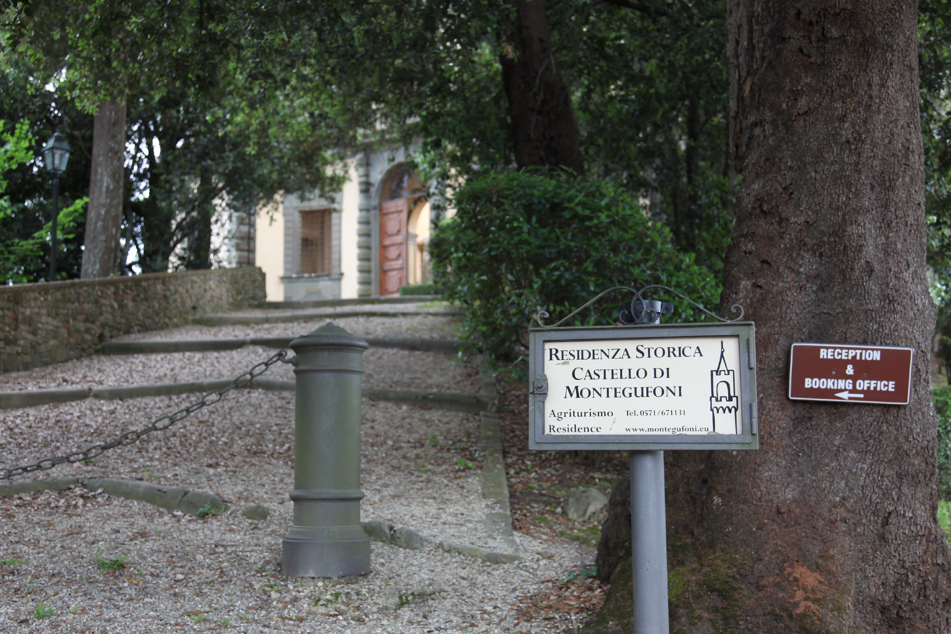
After leaving the car at the Montegufoni parking area and before starting the walk, it is recommended to make a brief detour to closely observe the exterior of the Acciaioli Castle. This will allow you to appreciate the elegance and grandeur of one of the main historical and artistic attractions of the Municipality of Montespertoli.
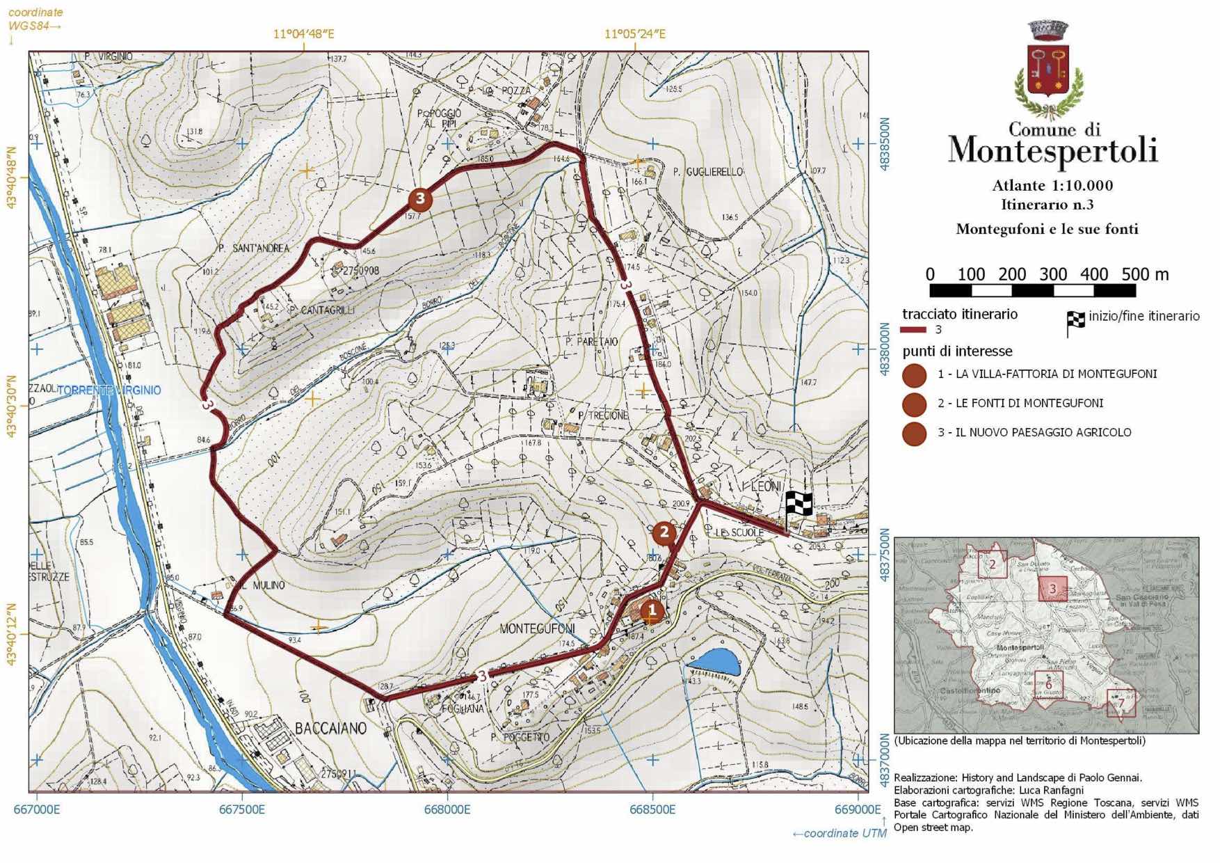
The walk begins from the parking area and shortly after crosses the intersection with the two large animal statues (a lion and a she-wolf), which once served to alert travelers to the entrance of the Montegufoni estate, a noble residence of one of the most important families in medieval and Renaissance Florence. Near the two statues, along the road descending to the villa, a brief detour leads to the remains of the Montegufoni spring, somewhat hidden by vegetation. Although it might seem a minor feature compared to the imposing Acciaioli villa, it is one of the vital places where the deep identification of the small local community was anchored for centuries. The soil’s geology allows for the emergence of substantial quantities of water, used by the local community both through the fountain system and perhaps other methods for transporting water to the villa-castle.
Returning slightly, we pass the two statues and continue on the municipal road, which soon reveals the 19th-century Villa delle Calvane (now a resort) surrounded by cypress trees. Beyond it, especially on a clear day, it is worth pausing to admire the view of the highest Tuscan mountains that lie before us, despite our modest altitude (186 meters above sea level): from left to right, you can see the Apuan Alps and then the Apennines with Monte Giovi, Alpe delle Tre Potenze, Cimone, and Corno alle Scale. Closer to us, below the Apennine ridge, is the ridge dividing the Valdipesa from the Florentine basin, with the wooded hills of Roveta. To our right, even closer, is the small valley of the Borraia stream, with the country road running along the small ridge where the 16th-century villa del Turco is located, in a landscape now simplified by modern vineyards placed one after another.
A small brick bridge hosts a second site dedicated to collective memory and local identification: a memorial stone in memory of partisan Settimo Agostini, killed here on July 27, 1944, during a gunfight with the Germans.
Shortly after deviating from the municipal road, we pass to the left of the nearby Poggio al Forno (now Poggio al Pipi), which, due to its morphological significance, once formed the center of a man-made landscape from which geometric lines radiated, outlining the numerous small plots dedicated to various crops in the context of sharecropping agriculture. Aerial photos from the 1950s-60s capture this image well.
Today, however, the landscape as shown by Maps is entirely banalized, consisting solely of small vineyards; only the forest patches, confined to the small watercourse valleys, have retained the same design as in past centuries.
Descending towards what was once the rural nucleus of Sant’Andrea al Colle, home to the now-suppressed church annexed to San Lorenzo at Montegufoni in 1583, which was reduced to a simple chapel with religious functions celebrated until the 1950s. Walking westward, the view expands over the opposite side of the Virginio valley, between Piano di Cencio, Masse, and Morzano, featuring large areas of abandoned land with extensive landslides and clay pits now disused for the needs of the modern kiln below. Upon reaching Sant’Andrea, continue descending, skirting the forest and passing by the former Cantagrilli farm complex. The route then starts a steep descent through the forest, eventually emerging from the vegetation to overlook the Virginio valley floor, crossed by the provincial road.
Our route stays a suitable distance from modern roads, continuing under the ridge until it leads us to a modern and seemingly anonymous building.
In reality, it is not so anonymous, having a history spanning several centuries and an important function as a mill. This is the Molinuzzo, a former Acciaioli mill that was powered by the Picco stream, which still runs by it from the fields above.
We ascend to the small Montegufoni cemetery, with the villa’s tower visible to our left, indicating the final destination of the route. Before reaching the elegant complex, to our left is a valley woodland (where the Borraia delle Calvane flows) mentioned in early 19th-century Lorena maps as Ragnaia; the hillside covered by pine forest behind it is also named in the 19th-century maps as Uccellare. Both terms refer to ancient hunting grounds associated with the presence of a manor villa, which always had nearby areas dedicated to bird hunting, reflecting the importance of hunting in previous centuries, a practice that was a hallmark of European royalty, including the Medici.
Arriving at the Church of San Lorenzo at Montegufoni, dating from the 13th century, now showing the forms of its 17th-century expansion; we pass by the villa, surpassing a tabernacle made in the centenary of the apparitions of Our Lady of Lourdes, using a 14th-century bifora from the castle, and shortly after, we reach the parking area where the route ends.
The Baccaiano Cedar Known as Yanbae
A discreet presence, despite its considerable size, this large Cedar stands like a Gentle Giant in the garden in front of the former Piazzini and Bertelli Bakery, now owned by Sacco. Despite its significant growth, it appears to be less than a hundred years old. The current owner recounts that in the 1960s, this tree underwent significant intervention in an attempt—successful—to save it, as it was at risk of dying. This may explain the growth pattern it assumed, with branches developing in a “candelabrum” shape from the base. It has since undergone no further interventions or pruning and has been left to grow naturally. It is a Cedar of Lebanon, Cedrus libani of the Pinaceae family, and its name derives from the Greek keo, meaning “to pour,” given to all conifers from which a resinous liquid exudes. Native to the Eastern Mediterranean, it grows naturally in the mountains of Lebanon, Syria, and southern Turkey (Taurus Mountains) and has been cultivated in parks and gardens throughout Europe since the late 18th century. Inspired by its origins, the new owners affectionately named it Yanbae (pronounced Yanbo), which means “trunk” in Arabic. The most beautiful and spectacular Cedars are found in Lebanon, specifically in the Cedar Forest of God (located about 2050 meters above sea level), which is a UNESCO World Heritage site. To protect this tree, the Lebanese government has established three protected areas: the Shouf Cedar Reserve, the Horsh Ehden Reserve, and the Tannourine Cedar Forest Reserve. It is indeed a sacred tree, mentioned seventy-two times in the Scriptures, symbolizing steadfastness, beauty, wisdom, greatness of spirit, and spiritual elevation, representing the “righteous.” Its value in various cultures and religions is such that it must be carefully guarded as it is close to the divine.
The Old Plane Tree of Baccaiano
Planted in 1925 by the maternal grandmother of the current owner of the bar, this Plane Tree will turn 100 in 2025! How many stories it could tell if only the local elders, who could preserve memories and recount anecdotes, were still around! The social fabric is losing its structure, with new additions continually changing, which affects local identity while enriching it with new vitality. An anecdote is relayed by a local resident who recalls the rescue of a large truck that ended up in the stream when a bridge was blown up during the war.
“This is more than just a tree! It’s a piece of history. It’s so strong that to pull out the truck, a rope was tied to its trunk, which was already very robust… it must have roots that extend deeply, it’s well-rooted, and even though the planting area is small, it draws water from the stream below.”
The Plane Tree grows rapidly, likely due to its proximity to the watercourse. It is pruned every three years in a “willow-head” shape because, with its fast growth, its branches reach the house and overhang the street. For trees in urban environments and especially those planted near buildings, it is essential to find a balance for a harmonious coexistence between trees and humans, often without considering and predicting their future development.
The Plane Tree is cherished by the residents of Baccaiano, who, until a few years ago, would gather in the summer, chatting late into the night under its branches, which, with their silent and protective presence, made the bar’s gathering spot even more welcoming. The bar still bears the name “Il Vecchio Platano” (The Old Plane Tree).
The information was kindly provided by Engineer Andrea Pestelli. His wife’s grandfather, Adolfo Paciscopi, had a shop (grocery store) at Montegufoni Castle, where about thirty families lived. These families were evicted in the early 1900s and settled at the confluence of the Virginio and the Baccaiano stream, at the crossroads between the Volterrana and the New Virginio Road. Thus, the new settlement took its name from the stream. The grandfather built the house in 1924 and moved the shop there. It was his wife Emilia Bianchi who wanted to plant a tree.
Gallery
Information
WHERE
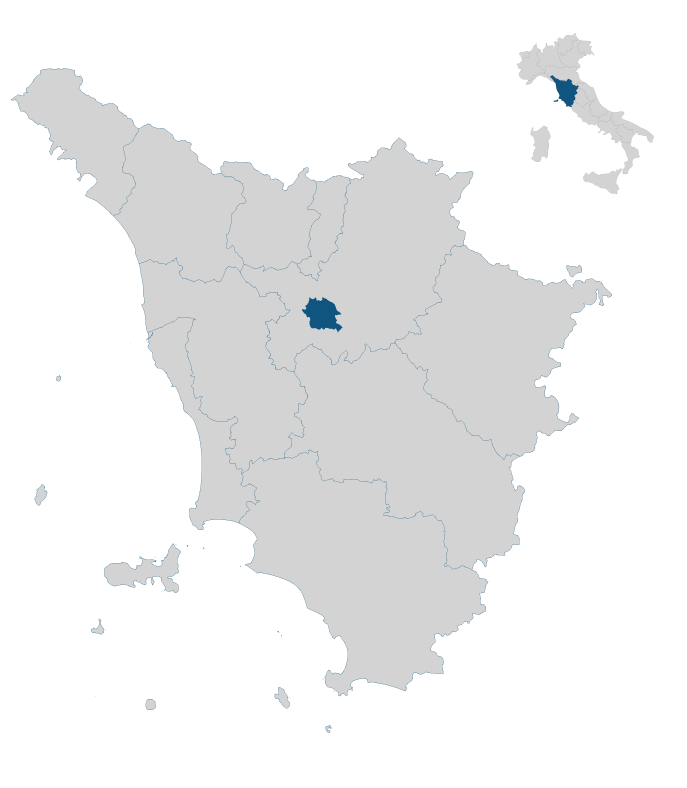
Northeast part of the municipal territory; Montegufoni Castle
DURATION
1h 20′
DURATION WITH STOPS
2h
LENGTH OF THE ROUTE
4.6 km
ELEVATION CHANGE
↑ uphill 175 m
↓ downhill 175 m
DIFFICULTY LEVEL
Easy
TYPE OF WALK
Scenic and historical-architectural; circular route
WATER SOURCES ALONG THE ROUTE
Yes, at the public drinking fountain near the Church of San Lorenzo or at some houses along the way.
PRACTICAL ADVICE
During the summer season, it is advisable to avoid this route during the middle of the day. In the autumn-winter and spring periods, any time of day is suitable.
Extra content (in Italian)
Cartography
Altimetry
GPS track
Map
In the heart of Tuscany


