WHAT TO DO IN MONTESPERTOLI
A TERRITORY TO LIVE
AND DISCOVER AT WALKING PACE
Water and landscapes of the past in Montespertoli-2
Montegufoni castle and its surroundings

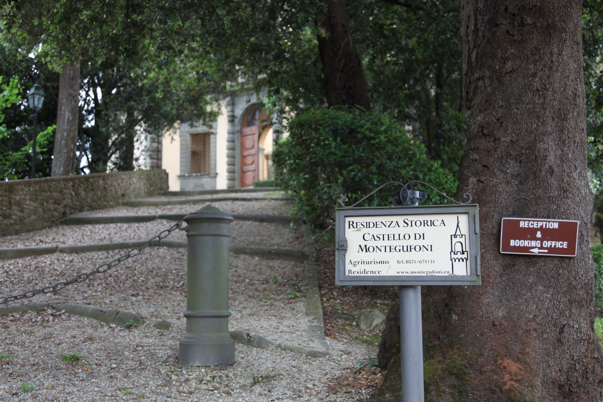
We suggest you leave your car at Montegufoni’s car park but before to start hiking, we recommend you take a short detour to take a close look to the outside of the Acciaioli’s castle (in some times of the years, upon request to be made at the desk, you can visit the garden and the courts).
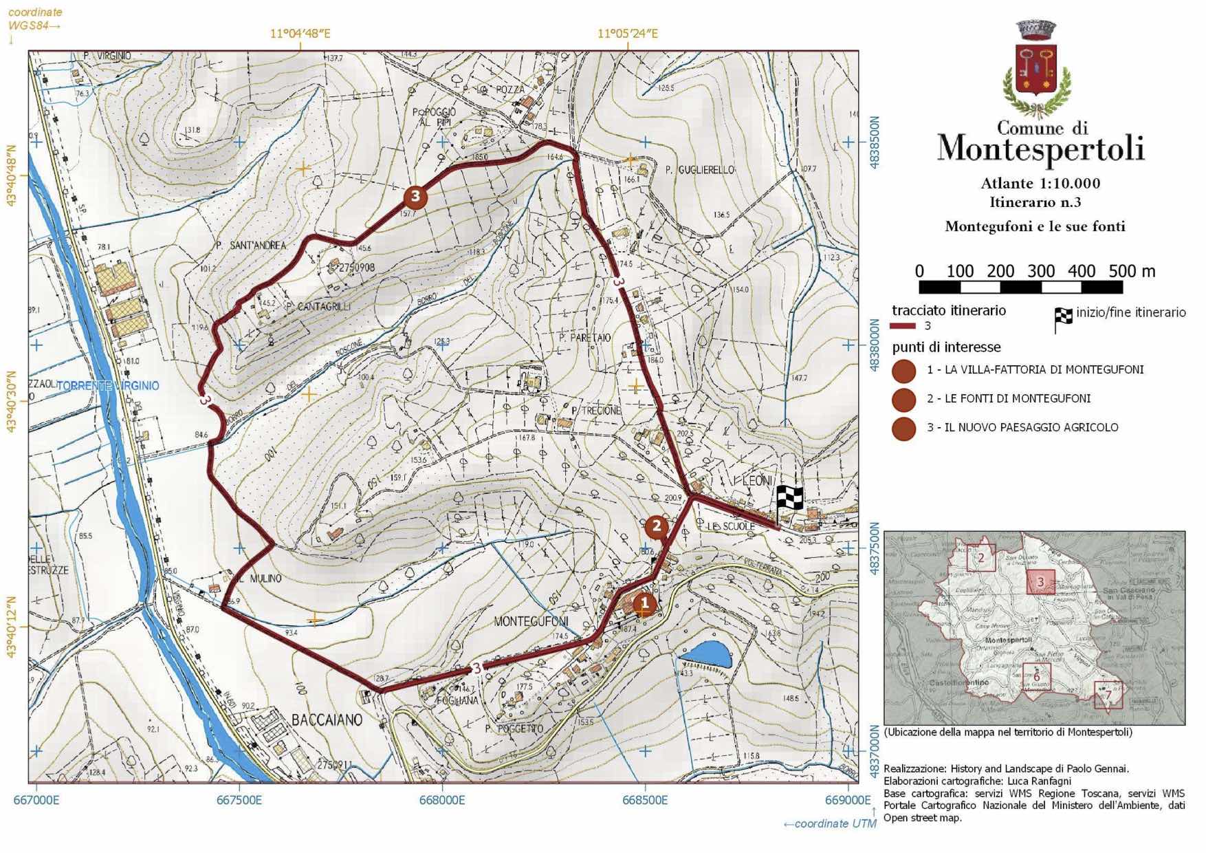
The trail starts at the car park with a steep climb at half of which, before a large holm oak, you’ll find a short detour that leads to the ruins of the Spring of Montegufoni, half-hidden by the vegetation.
Once back on the path and resumed the climb you’ll reach the locality “I Leoni” which signaled to those travelling on the Via Volterrana they were entering the Acciaioli family’s territories.
Once passed “I Leoni” you’ll have to turn on the left to enter Via Castiglioni and after a short section of sloping ground you’ll find yourself in Villa delle Calvane, surrounded by cypress trees. The trail resumes on a slope and runs along some newly built townhouses and leads to the Muraccio bend: in this place on 27 July 1944, partisan Settimo Agostini was killed by the Germans. After the Muraccio bend the trail resumes again on a climb and, by the end of a cypress grove, enters a dirt track on the left: via Cantagrilli. After passing a hump the road begins to descend straight towards the village of San Andrea al Colle that hosted an active church up until 1583 when it became an annex of the village San Lorenzo a Montegufoni.
On the right the road flanks some vineyards arranged in the shape of an amphitheatre around a wood called “Buca della Pastora”, once nearby Sant’Andrea it sharply turns on the right and reaches the end of the wood on a slope where it turns on the left starting to climb again. Flanking the wood, the trail reaches the former Cantagrilli farmhouse complex, where the dirt road ends, right in front of street number 4. The trail continues on the farm road alongside the metal fence at the end of which it begins to descend steeply towards the wood. The trail enters the wood, turns on the left and exits it shortly after, overlooking the floor of the Virginio valley, in sight of a gas station.
The trail continues down a steep descent until when it enters, turning right, on a small road headed towards the Virginio provincial road which it follows for just a few meters since the trail turns again on the left on the climbing dirt track while constantly remaining on the edge of the forest.
When reaching a large concrete electricity pole turn on your right and descent towards a building complex named Molinuzzo (former mill of the Acciaioli) after which, turning on the left, you enter a dirt track. The trail begins to climb towards the cemetery; on the left, in the distance you can see the tower of Montegufoni castle. Once at the cemetery turn again on the left, continue to climb on the paved road (shortly after you’ll find the Fogliana spring on the right) which runs along a vineyard, on the left you’ll see, on the valley floor, a small wood called Ragnaia, and behind it you’ll see a hill covered in pine trees called Uccellare (Regnaia and Uccellare are ancient terms used to point hunting places).
This leads to the church of San Lorenzo in Montegufoni, dating back to the 13th century. The church has been enlarged and renewed in the 18th century.
Walking along the municipal road you pass by the castle, you pass a bend (on the right you’ll find a tabernacle with a 14th century mullioned window) and right after you’ll reach the end of the trial at the car park.
Gallery
Information
WHERE
Montegufoni Castle, about 6km north of Montespertoli.
TRAVEL TIME
1h 20 ‘
TRAIL’S LENGTH
4,6 km
HEIGHT DIFFERENCE
↑ 175 m
↓ 175 m
LEVEL OF DIFFICULTY
easy
TYPE OF THE WALK
landscape and historical-architectural; circular route on secondary roads and country lanes. The final steep uphill stretch makes the route not recommended for children under 7 years of age.
WATER POINTS ON THE TRAIL
yes: the public fountain at the church of San Lorenzo or at some houses along the trail.
SOME PRACTICAL ADVICE
IN summertime it is not recommended to walk this trail in the central part of the day. Any time of the day is fine in autumn, winter and spring.
Download the brochure
Cartography
Altimetry
GPS track
Map
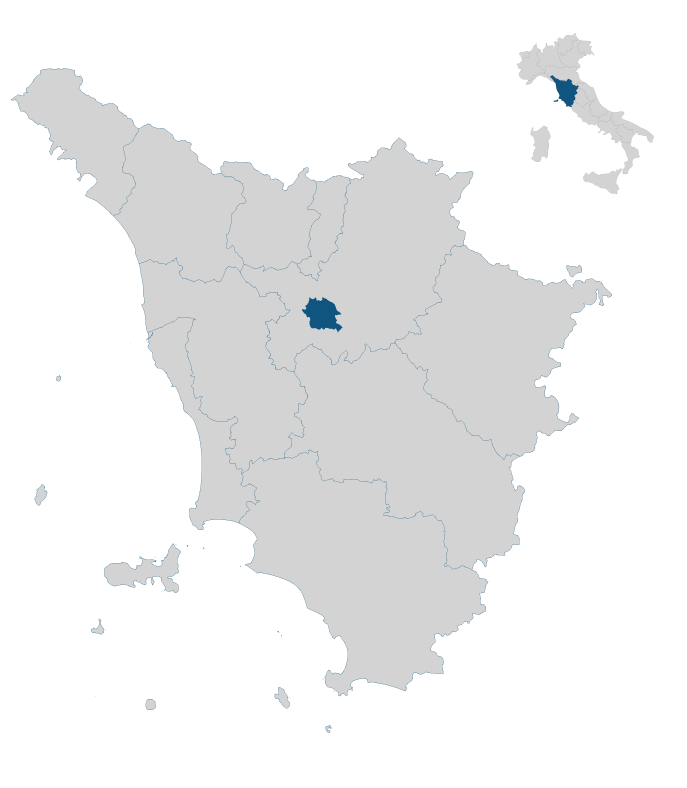
In the heart of Tuscany


